El Camino Portuguese
Povoa de Santa Iria de Azoia to Vila Franca de Xira

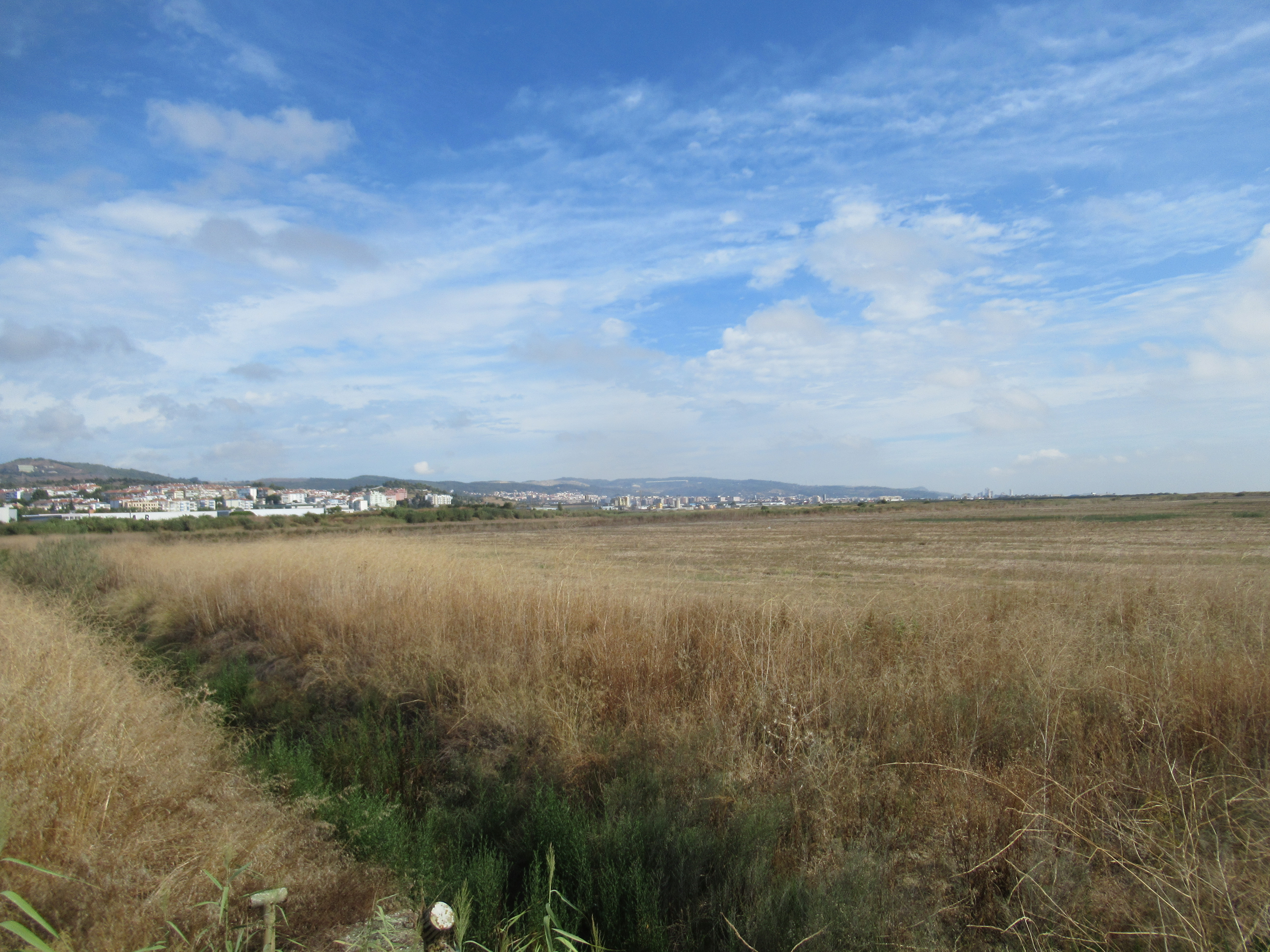
The route is at 60 metres altitude and on the guide maps there were two contour lines between the top of the hill and the route but no where in the guide did it tell me how many metres were between each contour. But I can vouch that it was a lot.
 In Granja at last there were some distinctive and professional signs to guide pilgrims, the first that I had come across. This one was painted onto t telegraph pole. The routes to Santiago and Fatima share the same route for the first few days and hence references to both, a blue arrow and Fatima symbol and a yellow arrow and the Scallop shell symbol to represent the way to Santiago de Compostela.
 Up to now, I had had to keep my eyes peeled for blue and yellow arrows such as these on a crash barrier, rather feint and faded and on the wrong side if you are walking on the safe side.


...or amateur hand daubing on any available surface such as this Santiago sign on a local electric pylon and easily missed.

But at and fter Granja, there were concrete pylons such as this one, the first that I had seen which clearly and professionally denoted the correct route and plenty more to follow.


All was revealed as I followed the road. There were conveyors that came down from the plateau above where the farms were situated to feed the mills. The conveyors saved lorry drivers the wear and tear on their nerves and the vehicles, not to mention diesel consumption, steep descents in low gear, frequent braking and time to negotiate the steep hair pinned roads from the plateau to the mill.
Drivers could unload at the top of the slope and return for another load whilst the conveyor took the goods down to the river side mill so avoiding a slow and potentially difficult, slow and dangerous descent with a full load.
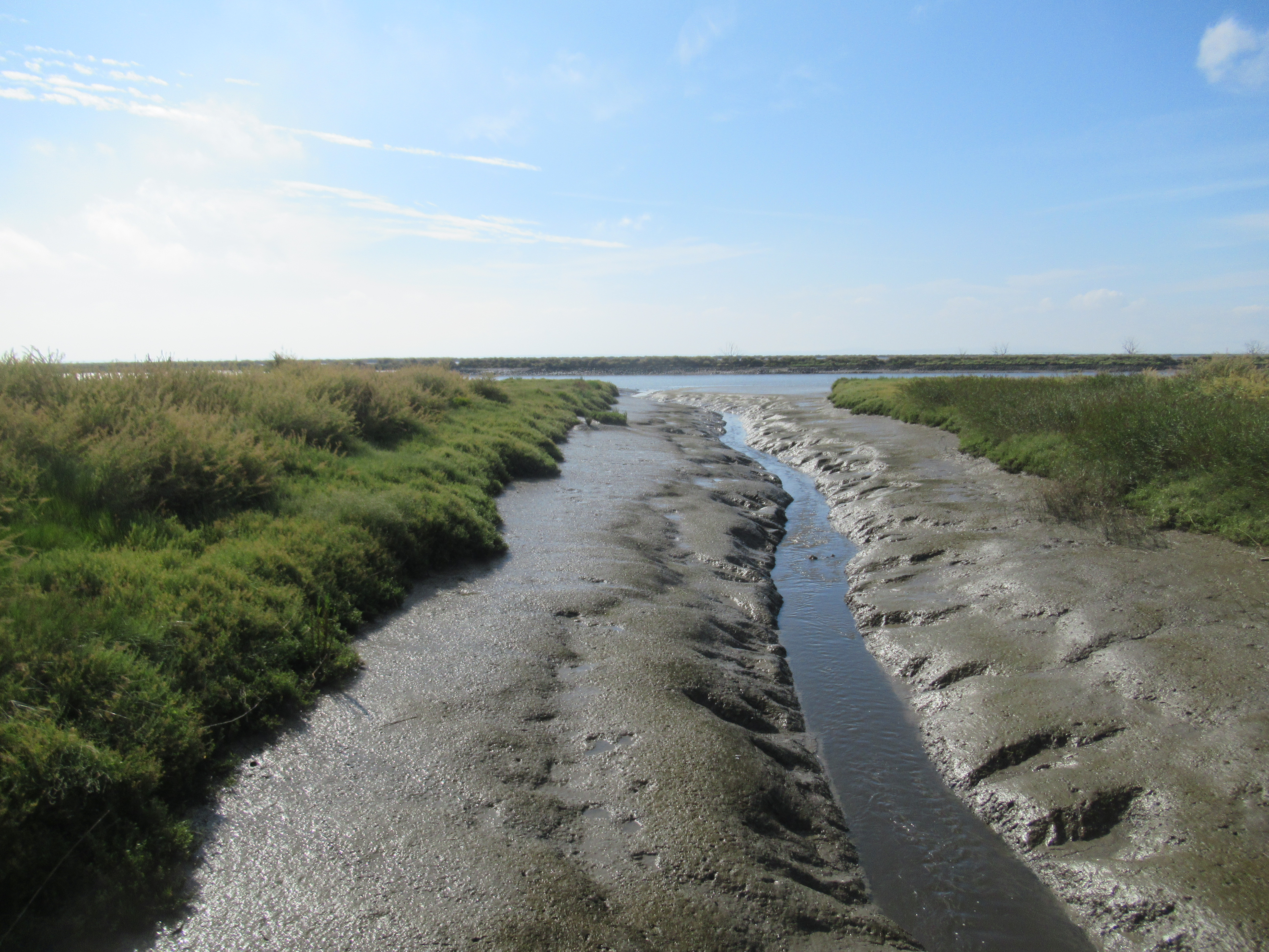
 The track returned to near the waters edge and now the tide had risen.
 A look back at the industrial area with two grain mills to the right and a cement factory and silo to the left.
 The bull fighting areas on the outskirts of Vila Franca de Xiro, see from the coastal path across some railway tracks.
 The local marina.
 A view of the front of the local station with some beautiful tilework...


...and a view from the business side of the station across the rails.
No comments:
Post a Comment