Sunday 31 December 2017

Sierra Leone

And yet another border and we were into Sierra Leone. But there was a problem near the border with a long tail back of vehicles. A lorry had broken down in the middle of the road and an overladen taxi had tried to get past on the camber at the side of the road and had fallen over onto its side so only cars could pass. In our overloading vehicle, we bumped across some farmers tracks and got past that way.

And a reminder that the country was hit hard by Ebola not long ago.

  It is presidential election time in Sierra Leone and there are promotion posters every where.
                                      

 We ran parallel to a railway track for a while but I didn't see any trains.


 But this northern part of the country has wide rivers...

 separating a mixture of savannah and jungle.
 I left the track on the beach and headed into Freetown for a few days but actually took few photos as chiefs are very active and I often went out with any camera of ruck sack to make sure I didn't lose anything. Here is the Cotton Tree in the centre of the city which was allegedly here when the first freed slave were relocated here from the Caribbean in 1769.
 I couldn't resist a photo of this building in downtown Freetown.
 And the view from my hotel room...it looks misty but it is in fact dust and smoke from forest fires.


Yellow School Bus and Crossing Russia on the Trans Siberian

Just before Christmas my publishers released the next two books, copies of the covers are below. Get on to Amazon.co.uk, enter my name and you will see all five books. The 'e' versions of these two new books will be available in the next fortnight.

I won't spoil the stories but you can read the first few pages on line.

And I would be grateful if you were to write a review as reviews give people the confidence to buy the book and I get to sell more copies.


Kambagada Waterfalls

We were still in the highlands and you can't get too many waterfalls so we stopped at another great place. Some rapids above the main waterfall.
 There was a rather ricky rope bridge and you had to be brave to use it.
 It sagged markedly and the base was just a series of thin metal sheets.
 The top of the waterfalls.

 Looking down the gorge from the top of the waterfalls.
 The waterfall from a distance.

Guinea Christmas

We stopped near a waterfall for a swim and to have our Christmas meal. A few photos of the waterfall.
 The swimming area is above the waterfall off to the left of the photo. Luckily the current is not strong and the river becomes shallower as it gets to the top of the waterfall so there is not too much danger of being swept over the top.
 Looking down the gorge.
 But above the river was a forest fire, luckily on the far side of the river. We were safe on our side as it had already been burnt the week before and there was nothing left to burn but it also meant that there was no fire wood for the fuel.

 The water  from the river was also used for HEP, a view of the pipes running down to the power station.
 The river was also used to provide water for drinking although the pipes leading down the valley were rather conspicuous and no effort had been made to ben them into the landscape or to bury them.
 A colourful bush in flower.
The face of the dam upstream from where we were camping.
 Looking downstream with the drinking water pipe on the left.
 A view of the the downside of the dam looking from the top of the dam.
The realm waters of the eservoir above the dam.


Guinea Bissau to Guinea

A general view of our camp in a quarry.
 The scenery the next day was much the same with more savannah covering a flat plateau.
 But just to the north was a gigantic escarpment that we followed for several hours.
 Camp that night was along a track that disappeared off the road into the surrounding savannah.
 And past a small village.
 Then there were more termite mounds although these were a different shape. low round mounds with a flat top.
 But the main road in Guinea was a joy after some f the rough tracks that we had crossed and we made good time.
 But then the road abruptly stopped and we were back on rough track. And the red dusty road, the colour so common throughout Africa.


Saturday 23 December 2017

Senegal

We crossed from the Gambia into Senegal and drove south towards Zuguinchor, a major city near the border. We crossed endless mangrove swamp and flat estuary farmland.

One to the mangrove swamps and an attempt to preserve the mangroves by replanting them at the margins of the shrinking mangrove as this is an important area for birds and bird migration.
One of the roadside farmhouses with branches pushed end first int the soul to keep out free roaming animals.
 Crossing the Cashew River and finally we arrived in Zuguinchor.
Not much to see here at all. for instance the highlights were the tourist office for the architecture,
a statue in the centre of the city.
A typically African scene along the roadside.
The awful roads so badly potholed that you are lucky to get 20kph and vehicles prefer to use the sand at the edge of the road rather than the road.

But every town has a colourful market.
 And the bigger termite hill to date.


Sunday 17 December 2017

Tendaba Eco Lodge, The Gambia

I visited the local beach before we left Banjul for the interior of the country. The way to the beach was over a main road and down a path between some shops and a hotel. But in the middle of the dual carriageway was an odd statue seemingly without any explanation plague or reference to the surroundings.
But the beach was an open expanse of sand and virtually deserted.
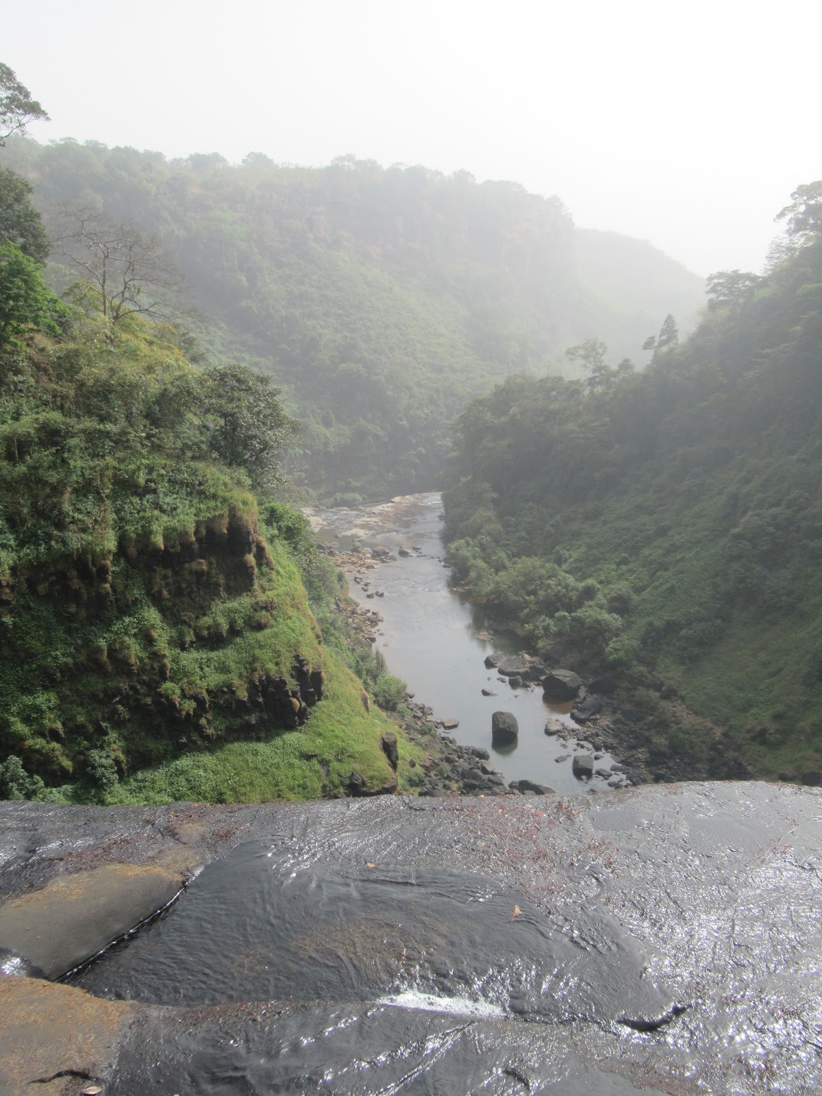
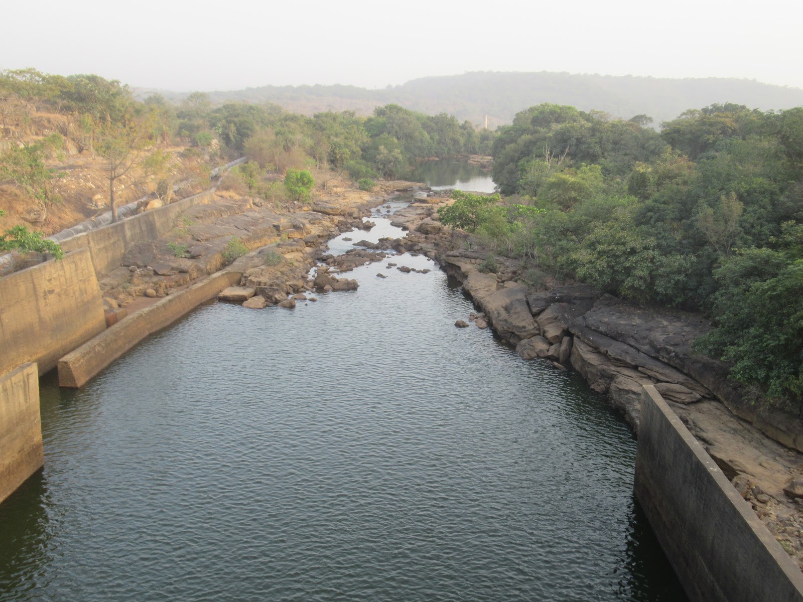
We left Banjul for a three hour drive into the interior, taking the main road east fron=m the capital along the south side of the river. After just an hour, there was hardly any other traffic on the road but the were more police check points than traffic in either direction. Then we crossed one of the tributaries and turned down a side road to reach a village on the main river.
We passed several road side signs warning of Irish Crossing. An interesting name but just a local name for a ford which consisted of a concrete lined dip in the road to allow flood water to flow into the river. Many were partially filled in as there has ben a drought here for three years.
We arrived at the Tentaba Eco Lodge and campsite, a premier location for safaris to see the wildlife including a baobab tree in the grounds.
One of the fruits from which a drink is made. The fruit is about the size of a slightly squared grapefruit.
The eco lodge is on the shores of the river and in the mud and mangrove swamps are mud skippers such as these two photos.
The local pier from which the fishing boats leave from and land their catch for transfer to the local markets.
One of the many birds that search the mud flats for food.
Sunset and a dog staring at me as if it is the object of the photo.
And a cute goat.
This was the aim of a walk into the local jungle, a large termite mound.
And a selfie of me showing that the termite mound is over my head so it must stand at 2.5metres high. It might look like a sand castle but it was rock solid.
Some one's idea of a joke. The sign reads Tendaba Airfield Terminal 3 next to a path that leads off into the jungle and ultimately to some mud flats.
 One of the safari vehicles used for large groups to get into the jungle.
Ans just a couple more photos of birds as this is a major bird watching area frequented by ornithologists with over fifty birds to see at only one time. Just a few of the many.