Urke in Hjørundfjorden


The ship moored in the fjord opposite Urke and a tender came out to to pick us up.


...the major front facade...


This is Lygnstølvatnet formed on 26th May, 1908 when an rockfall and avalanche damed the river. Water built up behind for four days until it was able to escape.

The partial dam stretching more than half way across the centre of the photo from the left. If the weather is calm, you can still see the ruins of a submerged farmstead from the surface of the water.

This is Uravatnet, and hidden from view near the end of the lake is Erasetra where we would be stopping for lefse cake and coffee


...a side view...

This is a shilling, a collection of huts built into the ground usually between a large rock or other protection. It there was an avalanche, the rock would help to protect them. They are also partial built into the ground to reduce their profile and heat loss. The grass on top helps to absorb water to keep the roof timber dry and act as additional insulation. On more modern and replacement roofs, corrugated iron is used and the turfs laid on top of that.
They were used during the summer when animals would be taken up into the hills to be released and forage for themselves. At least one member of the family would stay up here over summer or perhaps share the toil with a relative or neighbour. Someone would stay behind at the main farm to look after the house and fields, cut hay and grow vegetables.
Inside, the ground floor would be used a a communal space and family would sleep upstairs. The other huts were used for storing produce, guests and general storage. One might be used for a cow or goat overnight, milked in the morning and released during the day.


Outside is a stone able and some stone benches. This is not typical so is probably a modern addition for tourist visitors.

Just across the road is another shilling built on sloping late but still with rock behind.

One is built sideways to the rock but it still has adequate protection. Another hut was built in front of that but without protection of a nearby rock and it was destroyed by a snow avalanche two decades ago.
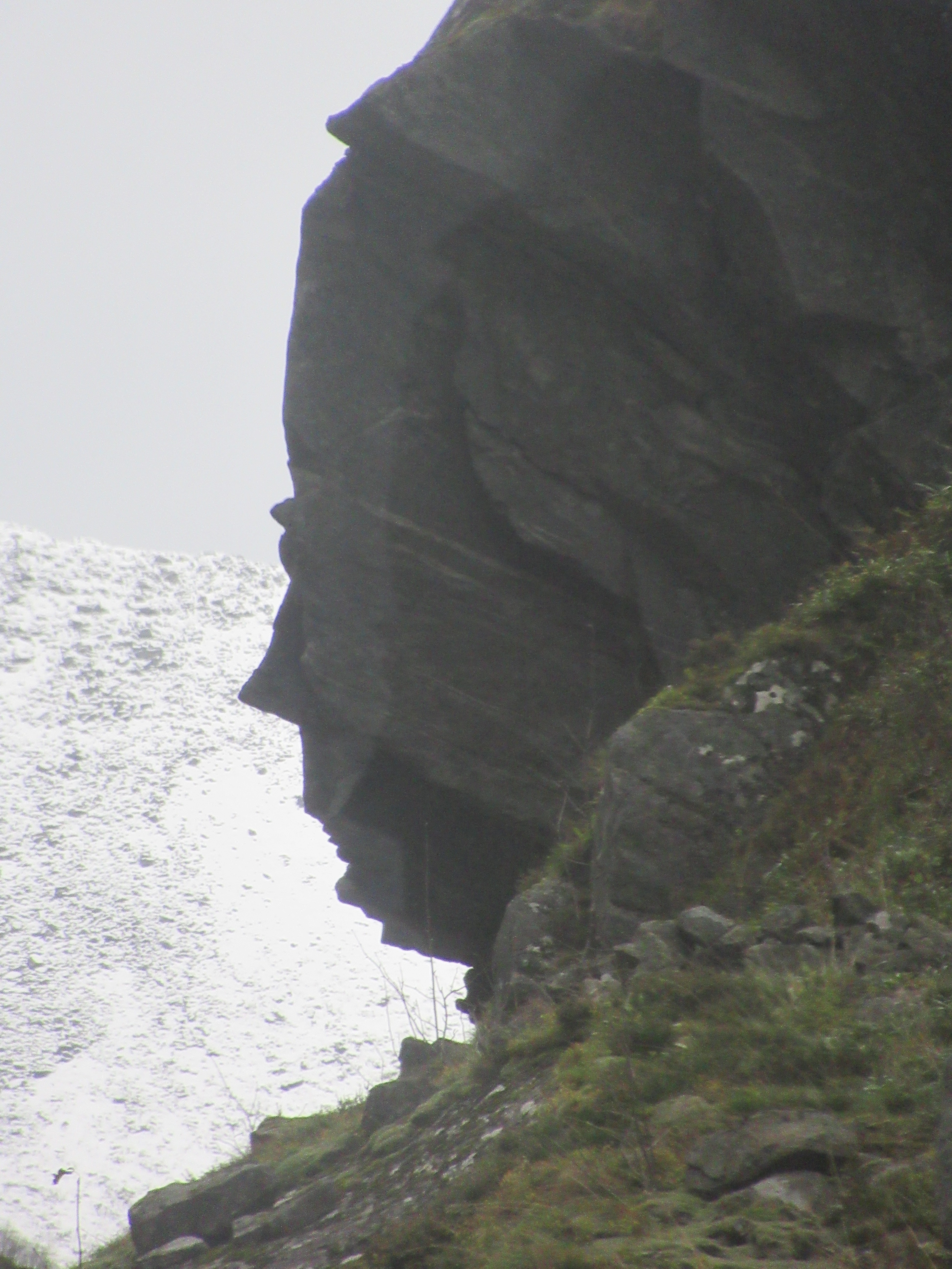
As we descended the valley, we stopped at this outcrop which looks uncannically like Queen Victoria.
No comments:
Post a Comment