Hadrian's Wall, Chollerford to Carvoran
Thhe next day I was back in Chollerford having driven to Hexham and arked it near the railway station and caught a taxi to Chollerford to restart my walk.
At Walwick, the official route takes three sides of a square to avoid walking alongside the Military Road. I had looked at the map and since it was a long stretch, I was content to take the road option. However given the traffic and remembering that others have been hit by cars, I followed the official route.
Going up the hill, there were several sections of broad wall and distinct ditches.


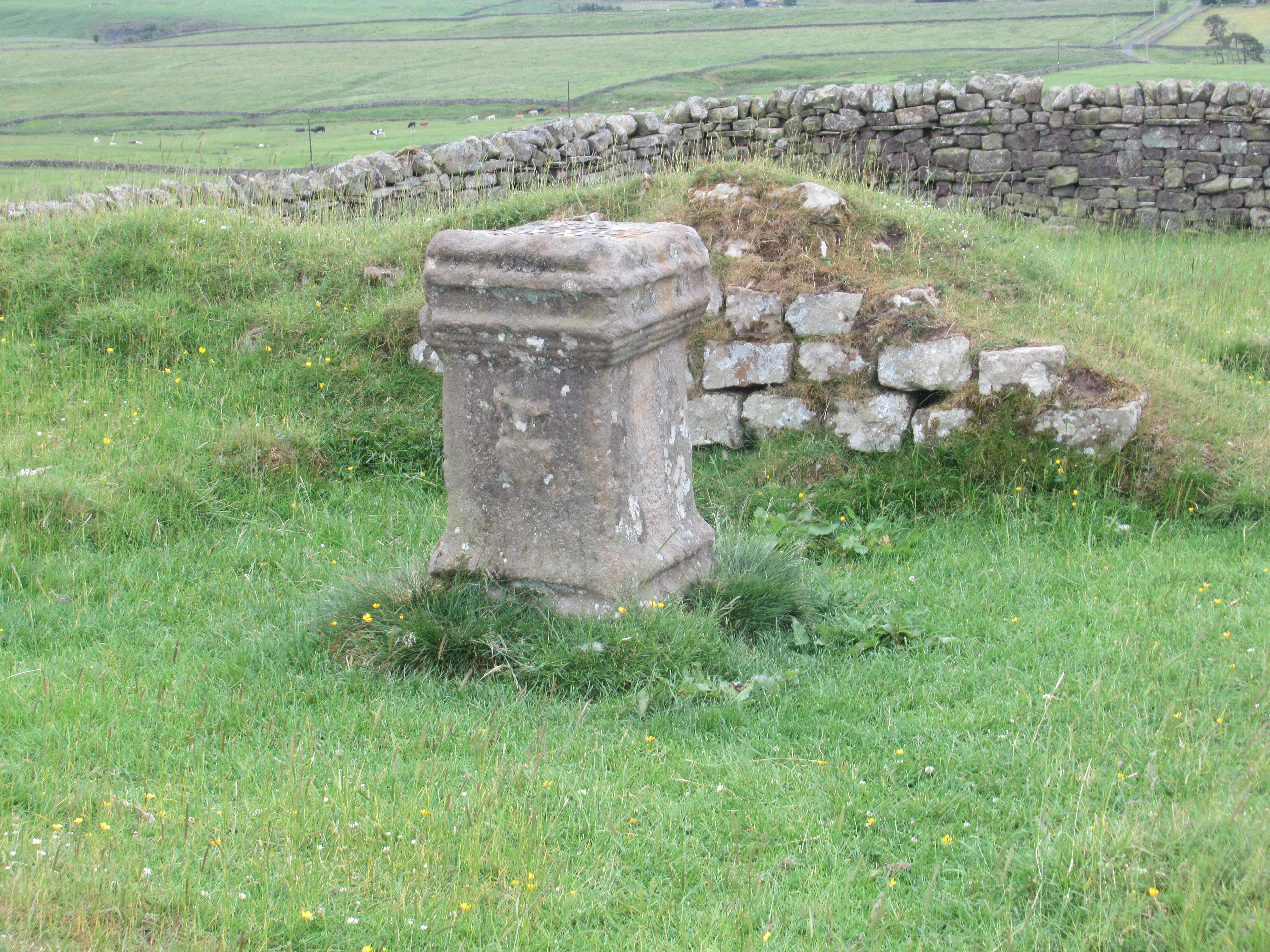
Just a little way down the hill is Brocolitia Fort. Rather like Vindobala, it is just a bumpy field with nothing to see except for a sign board. However just to the south is the Mithras Temple, a popular religious cult especially with Roman soldiers.
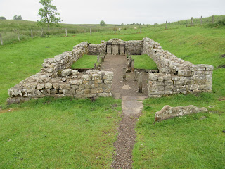 The Mithras Temple. The three square columns at the far end are the three altars that were owned by three local officers from the garrison.

Next was Homesteads, one of the best known Roman forts along the wall. There is a small museum and gift shop plus information boards within the fort itself.

Me outside the museum before entering the fort itself.

The old and new entrance to the fort.


A view over the north wall and the wall as it goes east which gives an idea of the height of the fort above the ground to the north. The wall along this section is built on the Whin Sill, a volcanisc intrusion which dips to the south with gentle southerly slopes but steep northern slopes.


More wall marching across the sill.


Information board.

At last the end of a long day's walk, looking down from where the sill ends and the wall makes its way down the southern slope to the lake. a former quarry, now the Walltown Country Park and Carvoran.

Looking back at the sill with the wall running along the edge of the top from the country park.
There is little Roman remains to see on Carvoran but there is a Roman Army Museum which I would have visited but the entrance price was high and I didn't have a lot of time left before closing time to make the most of the exhibits so I gave it a miss.
No comments:
Post a Comment