Wednesday, 13 December 2017

The Gambia

Our first night near the border wasn't a great place to camp.There were dozens of different types of biting and stinging insects, we were near a main road so it was noisy all night and we thought that we were no where near any civilisation only to be woken up by the muezzin calling the faithful to prayer at 5a.m.

One of many other big disadvantage of the site were the thorns and the burrs which seemed to attach themselves to clothes, skin, hair, shoes and anything else and made life painful. Some of the thorns were so fine that they hurt but there was nothing to see. Yet another disadvantage of the site was that there was soft sand everywhere and the truck got stuck several times. We needed to get the sand mats out and pave the way back to the road.

 We queued up at the ferry terminal to get from the northern shores of the Gambia river to the southern she where the capital, Banjul is located.
 The vehicles got on first and then the pedestrians followed and in typical Afican style it was chaotic, noisy but colourful.
 Even as the ramp was pulled up and we had pulled away from the loading ramps, there were still people running towards the boat and ready to jump the last few metres.
 On board it was another colourful scene with traders and hawkers always ready to sell their wares.
And there were plenty of colourful African printed materials to colour the scene.

Senegal

We crossed the Senegal river by crossing one of the many dams and levees and we were into Senegal.

Just over the border we stopped inSt Loius which was the first French settlement established in 1642. It has a kong history but there is little to see that has survived. But the main road into st Louis e=was very busy.
St Louis itself was built on an island in the river and is protected from the ocean by a long peninsular that runs southwards parallel to the river.
The bridge that connects St Louis to the mainland.
The only old building still standing just over the bridge to the island, the Town Hall.
Our cap site was a lovely place further down the coast overlooking the river and a sandy beach.
The main communal building on the campsite with its bar, cafe and lookout tower.
There were upgrades available, usually stone built cabins but one was a converted lorry cab.
One of the many fauna that also lived on the campsite.
The foot bridge that connected the island to the mainland. 
Then it back to St Louis and I walked over to the island and saw the harbour on the far side.
And the fish market.
A late nineteenth century steam powered crane on the old dock side.
A modern art installation on a crowded boat.
A famous and iconic vehicle.
And then it was a number of first on the trip such as the first sightings of round huts with thatched conical roofs.
The first railway seen since Morocco and the first in Senegal
And the first baobab tree with its thick trunk and in comparison some spindle like branches


Sunday, 10 December 2017

Mauritania

We crossed the border from Morocco to Mauritania which seemed to take most of the day. Then we drove down to Nouaddibou just a short distance don the coast. This used to be part of Spanish Morocco but Mauritania occupied it in 1975 and is not going to give it back. It is a major deep water port and an iron ore exporting terminus of the railway from the interior where the ore is mined.

The tip of the peninsular is known for its birds and seals. The other great attraction is the daily ore train with its one passenger carriage that can be up to 2.3kms long, neither of which I had time to see as we were up early to drive down the dusty road to the capital, Nouakchott.
The grand mosque in Nouakchott. Unfortunately this is a new city with little f historic value preserved.
The hostel had flat ground for tents and a large dormitory tent on the roof.
The city is expanding fast and is quite advanced such as the lamp posts which are all solar powered with their own solar panels and batteries to charge up during the day and LED lights at night.
The big attraction here is the fish harbour where boats land their catch from the rich fishing grounds just off shore. There were hundreds of brightly coloured boats.
And more boats out to sea.
The fishermen are superstitious and don't like photos being taken so many were taken surreptitiously at waist height and many were so poor and had to be deleted except for a few such as this one of some snapper fish and you can make out my shadow and the camera in  my hand.
Then it was down the road to the border with Senegal. This  is the main road between the two countries, largely empty f traffic and being encroached upon by a sand dune.
Then the border area and after so much sand and desert it is surprising to ee water. The Senegal River marks the boundary and has a large delta and wetland area ideal for wildlife and much of it is a nature reserve.
And our first view of warthogs, standing beside the road.

Saturday, 9 December 2017

Western Sahara

The Western Sahara used to be the Spanish Sahara  ut they abandoned their colony in 1975. Morocco and Mauritania both claimed it but King Hassan II organised the Green March and 350,000 Moroccans marched south to calm land, jobs and to reinforce the country's claim to the area. It is a tax free area and still attracts a lot of Moroccans searching for work, land and a new beginning. The government is investing heavily in infrastructure, road building, bridges, government offices, army posts and the like so their is plenty of work.

We saw our first feral camels in the desert.
The landscape is unrelenting rolling desert, hot, dry, dusty with little to break the monotony. But anything that is different is noteworthy such as this sink hole near the cliffs where the sea has broken through the base. The view of the breach.
She of the fencing with people to give an idea of scale.
The clid=ffs are being continually undercut and this lip of rock is next door to the breach.
Further along the coast are salt works with pools of brine evaporating in the sun and the salt crystals are scrapped up into heaps.
The stony desert changed to a sandy desert and we saw our first sand dunes.
The area has a constant onshore wind for most of the year and so is ideal for wind turbines of which there were rows and rows stretching out across the desert to provide power for the new towns.
We had a truck lunch on the beach and an opportunity to go for  swim. The sea was surprisingly warm and a delight to cool off in and get clean at the sametime.
There are several wrecks along the coast such as this one. There used t be so many shipwrecks that Guilemime is said to have made its wealth by ransoming shipwrecked mariners washed up on its shores.
We found a good spot for a bush camp behind one of the few hills near the road. The only issue was that the surface of the sand supported a persons e=weight but the h=tr=uck sank into the sand and if we had stopped we would have been marooned so we continued over the hard crust until we got to firmer ground.
A good old favourite although it has seen the best of its days and is now rusting away at the back of a garage.
We reached the tropic of cancer and whilst I posted for a photo, unbeknown to me there were goinf=gs ons behind me.
                                      
But at least i got a better shot a little later.
Our bush camp for the next evening was behind a giant sand dune. It is had to get a perspective of the height but it was big, over two hundred metres high.
A view at the top of the dune and note the wind that was picking up san=d particles and it stung any exposed skin.
The view from the top looking back at the truck q=which is the little black smudge in the centre of the photo.
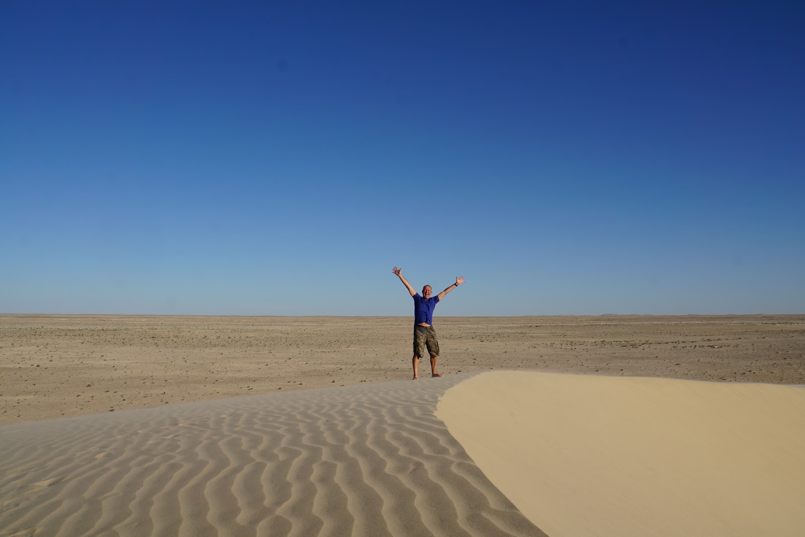
And I had to pose for a few shots at the top of another dune.